
Head of the Post-Planning Office under the municipal Planning-Architecture Department Trinh Quang Dung told the Hanoimoi about the visions for Hanoi’s urban development under the adjusted Capital Planning until 2045, with a vision to 2065.
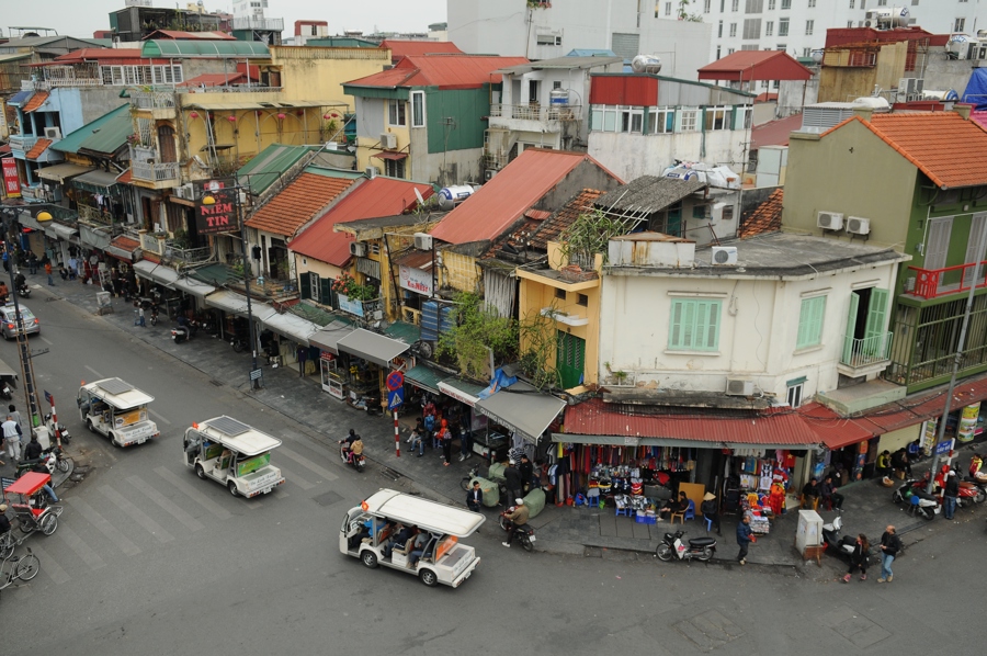
| A corner of Hanoi. Photo: Pham Hung/The Hanoi Times |
As the Master Planning of Hanoi until 2045, with a vision to 2065, is updated, what are the specific changes anticipated in the city's urban model in the upcoming period?
The Master Planning for the construction of Hanoi Capital until 2030, with a vision to 2050, was approved by the Prime Minister in Decision No.1259/QD-TTg on July 26, 2011 (Plan 1259), outlining the structure of the central urban area, five satellite cities, and several towns. However, more than 13 years later, the development of satellite cities remains slow.
This adjustment maintains the development model structure of Plan 1259 is maintained. Hanoi's urban system consists of a multi-center cluster of cities. The central urban area includes the southern city and the city east of the Red River as well as the northern city, the western city, the Son Tay satellite city, the Phu Xuyen satellite city, three ecological towns, and seven district-capital towns.
What would the shape of the urban areas look like then?
The metropolitan area will continue to expand westwards and southwards. The eastern urban area includes Long Bien District and Gia Lam District. The northern urban area comprises the Dong Anh, Me Linh, and Soc Son districts. The western urban area will be centered on Hoa Lac, while the southern urban area will be centered on Phu Xuyen.
Could you explain the functions of each urban area?
The central urban area, stretching from the Day River belt to the southern part of the Red River, serves as the political, administrative, cultural, historical, and service center. It covers approximately 133 square kilometers with a projected population of 2.81 million by 2045.
The eastern urban area, which covers the entire Gia Lam District, is planned as an urban development zone. It spans 176 square kilometers and is expected to have a population of 850,000 by 2030.
In the northern urban area, Dong Anh District is planned to be upgraded to a district first, and then a northern city will be established once development requirements are met. This area covers over 632 square kilometers, with an estimated population of 1.96 million by 2030, growing to around 2.7-2.9 million by 2045.
The western city will consist of the merged areas of Hoa Lac and Xuan Mai. The current plans only outline the city center, with the periphery to be defined when the city is formally established.
Son Tay City would be the upgraded Son Tay Town after 2030. This area is planned for education, training, healthcare, and high technology and will be connected to the central urban area via the Lang-Hoa Lac axis and Urban Rail Line 8.
The southern urban area includes the districts of Thuong Tin, Phu Xuyen, Thanh Oai, Ung Hoa, and My Duc. Thuong Tin District is part of the central urban area, while Phu Xuyen is projected to become the southern Hanoi airport city. This area covers approximately 303 square kilometers and is expected to house 1.6 million people, serving as a logistics, commercial, and industrial support hub.
After the adjustments to the master plan, what will the development orientations for the spatial axes be?
The planned spatial axes for development include the Red River axis, the West Lake - Ba Vi axis, the Nhat Tan - Noi Bai axis, the West Lake – Co Loa axis, and the southern connectivity axis. The Red River axis will emphasize landscape development and ensure urban construction on both sides of the river. The city plans to invest in constructing more bridges to connect the central urban area with Long Bien District, Gia Lam District, and Dong Anh District.
The Nhat Tan - Noi Bai axis will link to Noi Bai International Airport, passing through Dong Anh District, focusing on developing a financial and economic center to drive Dong Anh District, which will later become a core area of the northern city.
The West Lake - Co Loa axis serves as a connecting space from Co Loa to West Lake, forming a significant landscape axis linking past, present, and future developments. Meanwhile, the West Lake - Ba Vi axis remains a cultural axis largely unchanged from Plan 1259, but adjustments in scale and alignment along sections such as West Lake to National Highway 32 and National Highway 32 to Ring Road 4 are being studied to better meet practical needs. The segment from Ring Road 4 to Ba Vi will continue development with new orientations, connecting the central urban area with the western city and exploring Transit-Oriented Development (TOD) points further.
The southern axis is designated as a green axis, connecting the southern urban areas along the Red River with the southern regions, linking to the city's second airport and the Quan Son - Huong Son heritage complex, creating extensive open spaces and public areas.
Thank you for your time!